 Whimsy Bike
E&N Rail Trail Map
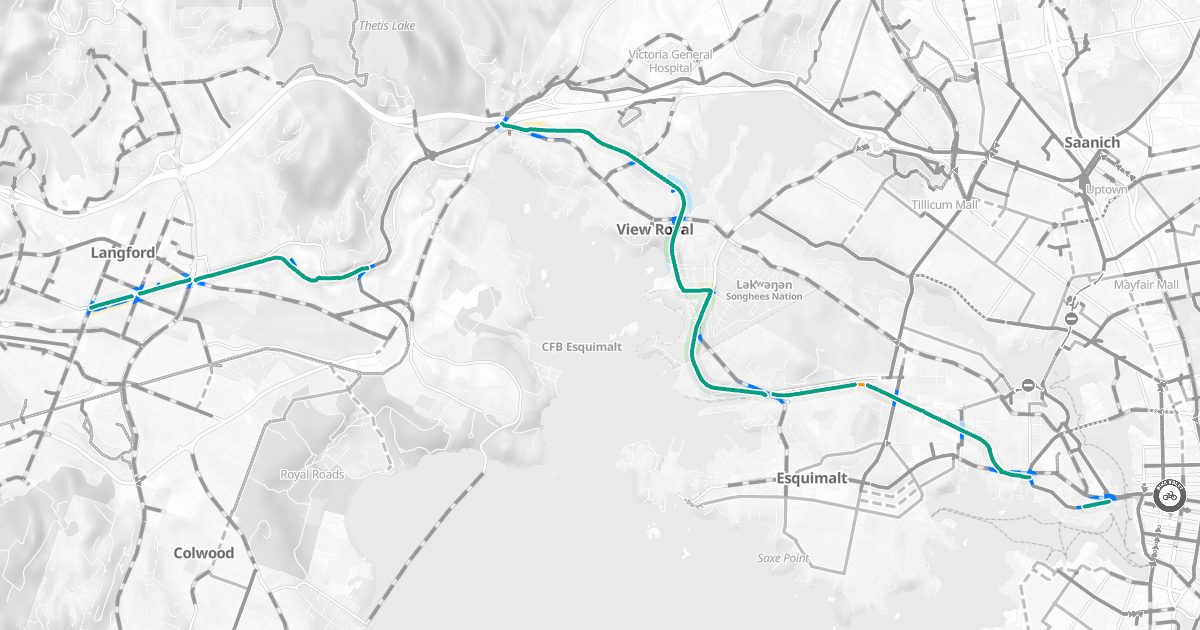
The E&N trail on a bike map, with routes to and from it.
About the trail
The E&N Rail Trail is a paved trail beside the Esquimalt & Nanaimo railway line, from Victoria West through Esquimalt and View Royal toward Langford. About 10.5 km of it is mapped here.
| Protected lanes and paved trails | 10.5 km |
Where it goes
- View Royal: 3.0 km
- Langford: 2.8 km
- Esquimalt: 2.7 km
- Victoria: 1.2 km
Along the way
8 drinking fountains; xʷsepsəm (within about 250 m).
History
The E&N Rail Trail (the Humpback Connector) runs beside the Esquimalt & Nanaimo railway. The Capital Regional District started building it in 2009, in phases as funding allows; the first two phases were finished in 2019, when about 12 km was open. The whole trail will be about 17 km, and the federal government paid much of its cost.
Plan a ride on it
Whimsy Bike's route planner uses the trail wherever it's the comfortable way, and shows where you'll leave it for streets.
Bike maps by area
- Victoria
- Saanich
- Oak Bay
- Esquimalt
- View Royal
- Langford
- Colwood
- Metchosin
- Sooke
- Highlands
- Central Saanich
- North Saanich
- Sidney