 Whimsy Bike
Lochside Regional Trail Map
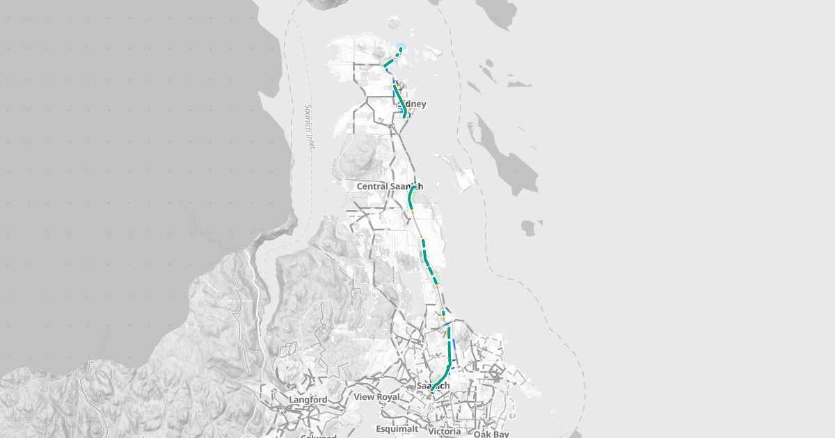
The Lochside trail on a bike map, with routes to and from it.
About the trail
The Lochside Regional Trail is a rail trail on the old Canadian National line up the Saanich Peninsula, from the Galloping Goose at the Switch Bridge in Saanich, through Central Saanich, North Saanich and Sidney, to the Swartz Bay ferry terminal. About 13.3 km of it is mapped here.
| Protected lanes and paved trails | 8.9 km |
| Unpaved trails | 4.4 km |
Where it goes
- Saanich: 7.2 km
- Sidney: 2.5 km
- Central Saanich: 2.4 km
- North Saanich: 1.1 km
Along the way
5 bike repair stations; Uptown (within about 250 m).
History
The Lochside follows the line the Canadian Northern Pacific Railway built up the Saanich Peninsula, part of Canadian National by 1918. After the trains stopped, the corridor sat for years before it opened as a trail in 2001. It runs about 29 km from the Swartz Bay ferry terminal to Victoria, and it's an alternate route of the Trans Canada Trail between Victoria and Tsawwassen.
Plan a ride on it
Whimsy Bike's route planner uses the trail wherever it's the comfortable way, and shows where you'll leave it for streets.
Bike maps by area
- Victoria
- Saanich
- Oak Bay
- Esquimalt
- View Royal
- Langford
- Colwood
- Metchosin
- Sooke
- Highlands
- Central Saanich
- North Saanich
- Sidney