 Whimsy Bike
Galloping Goose Regional Trail Map
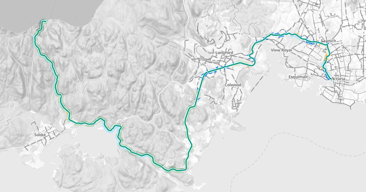
The Galloping Goose trail on a bike map, with routes to and from it.
Open the Galloping Goose trail map
About the trail
The Galloping Goose Regional Trail is a rail trail on the old Canadian National line, from Victoria's Selkirk Trestle through Saanich, View Royal, Colwood, Langford and Metchosin to Sooke. About 53.2 km of it is mapped here.
| Protected lanes and paved trails | 12.6 km |
| Unpaved trails | 40.6 km |
Where it goes
- Sooke: 18.2 km
- Metchosin: 10.8 km
- Langford: 5.4 km
- Saanich: 4.5 km
- View Royal: 4.5 km
- Colwood: 3.8 km
- Victoria: 2.7 km
Along the way
3 bike repair stations; 3 public washrooms; 16 drinking fountains; Goose to Leechtown, Uptown, Victoria General Hospital (within about 250 m).
History
The trail is named for the gas-powered rail car that carried mail and passengers between Victoria and Sooke in the 1920s. The line was Canadian National's; its Todd Creek Trestle was built in 1917, and rail service ended in the 1980s. The regional government began turning it into a trail in 1987, and it opened for recreation around 1989. The Capital Regional District restored the Todd Creek Trestle and reopened it in 2020. Today it runs about 55 km between Victoria and Sooke.
Plan a ride on it
Whimsy Bike's route planner uses the trail wherever it's the comfortable way, and shows where you'll leave it for streets.
Bike maps by area
- Victoria
- Saanich
- Oak Bay
- Esquimalt
- View Royal
- Langford
- Colwood
- Metchosin
- Sooke
- Highlands
- Central Saanich
- North Saanich
- Sidney